
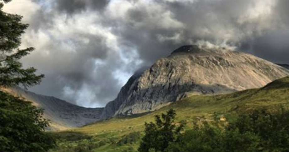

Ordnance Survey maps now show the height of Ben Nevis, Great Britain’s tallest mountain, to be 1,345 meters instead of 1,344 meters.
The official measuring point on Ben Nevis is one of the UK’s 6,500 triangulation pillars — “trig pillars.”
The pillar, which had fallen into disrepair, was restored recently. Once it was restored, OS experts rechecked the mountain’s exact height.
The increase was not caused by a geological movement or by the pillar’s restoration. It was due to improvements in technology, technology that is more accurate than what was used in 1949, the last time the mountain was surveyed.
Based on the revised measurements, the height of the mountain is 1,344.527 meters, only a few cm higher but, as heights are shown in whole meters on OS maps, it’s enough to round up to the next meter.

Rounding numbers can be fun, safe excitement, for dull men. Quite few DMC members are accountants, experts at rounding. Although some of them like the precision of unrounded numbers.
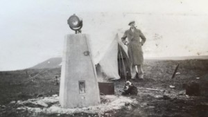
1949 technology
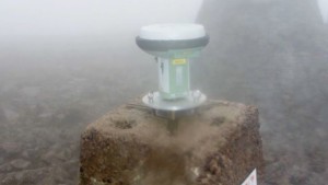
2016 technology
News articles:
“Ben Nevis gains a metre thanks to GPS height measurement” on BBC News
“Great Britain’s tallest mountain is taller” on Ordnance Survey blog
Visiting trig pillars and measuring mountains are pursuits near and dear to several men in Dull Men of Great Britain: Celebrating the Ordinary:
- Rob Woodall, the world’s leading trigbagger, is on pages 78 and 79. He has visited — “bagged” — all but one of the 6,190 trig pillars in Great Britain (excluding Northern Ireland). He will be bagging the final one on April 16 — Benarty Hill in the west of Fife.
Rob and trig pillar
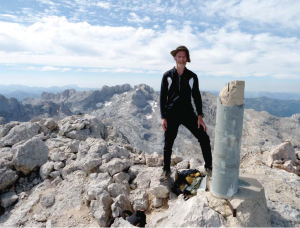
- John Barnard, Graham Jackson, and Myrddyn Phillips, hill baggers who have added professional surveyor-grade GPS equipment to their bagging, are on pages 48 and 49.
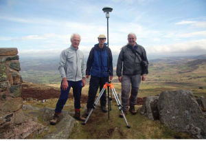
John, Graham, and Myrddyn with their mountain measuring equpment


